


Nagaland Trip, Part 1: Jessami, Chizami and Pfutsero

We finally went on a trip after being mostly stuck in the village from May to October due to the relentless rain and this time we didn’t go far. Nagaland is the northeast Indian state to the north of Manipur, and, you guessed it, is home to lots of Nagas (Nagas also live in Manipur, Assam, Arunachal Pradesh, and Burma). We took the motorcycle because we thought it was less risky than taking the car because of the bad and sometimes so-muddy-you-get-stuck roads. Also, the motorcycle meant that filling up the gas tank would be significantly cheaper and it meant that we couldn’t buy much on our trip. Worchihan’s main reason for taking the bike? Our trip would be an adventure!
And it was. Northeast India is not written about much in the guidebooks so there wasn’t much research to be done into where we would be going. I’ve never gone into a trip so unknowledgeable about the destinations in my life!
We decided we’d leave on a Monday and return on Saturday. Before we left, Saturday became Sunday and towards the end of our trip, Sunday became Monday, so we were gone for 8 days. Let’s dig into the beginning of the trip.
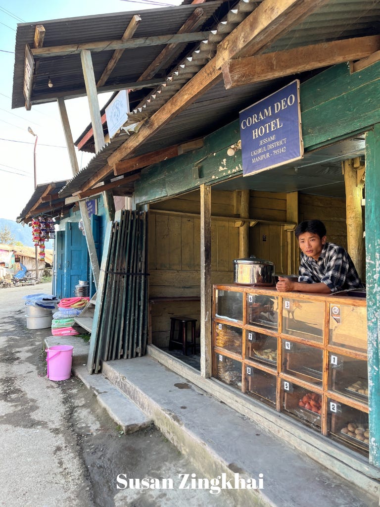
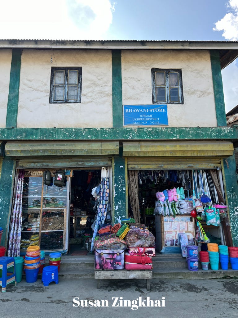
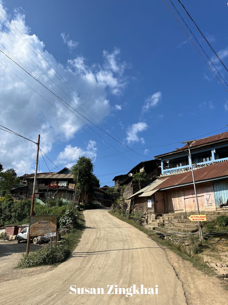
About 70 kilometers (44 miles) from our village is a village called Jessami, which is the last village in Manipur before crossing the border into Nagaland. Like our village, Jessami also has a “junction,” a collection of shops and places to get some food (they can’t exactly be called restaurants or cafés). We had a snack of samosa, pakora and suji or halwa, which looks to me like Indian cake. One thing I noticed and appreciated in the junction was the relative uniformity of the signs, as this is not something you typically see in this part of the world. We spent some time in Jessami taking pictures and flying the drone before setting off for Pfutsero, which was another 63 km (39 miles).


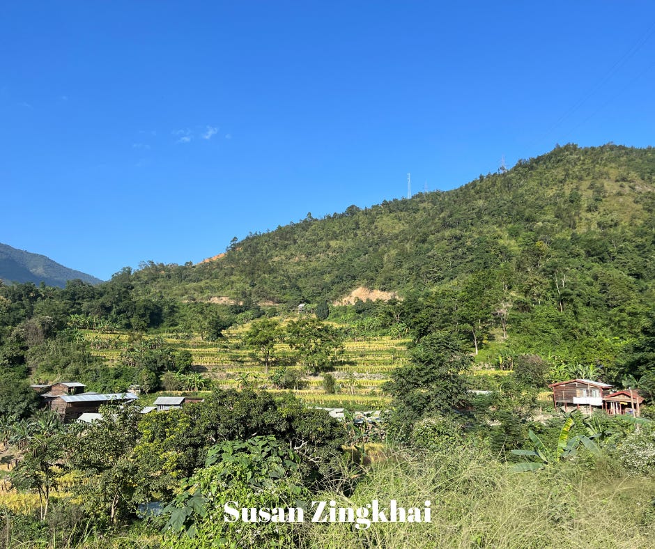
Worchihan guessed that the border between Manipur and Nagaland was a river and he was right. I wish I got a picture of the river, but I did get a couple of great shots of the first village across the border in Nagaland. Lanezho Village (known as Lanyezho on Google Maps), about 12 km from Jessami, has some beautiful rice fields that are right along the road.

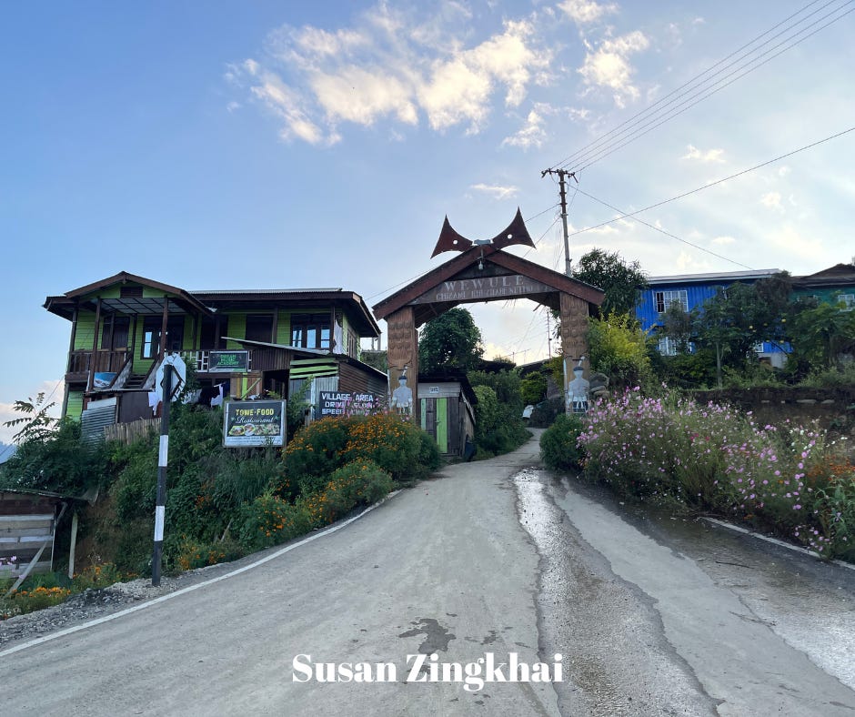
Another village we noticed is Chizami Village, which I found beautiful and quite developed with its sidewalks and crosswalks, things I’ve never seen in villages the villages north of Ukhrul, where we live. We stopped here for a few minutes to take pictures.
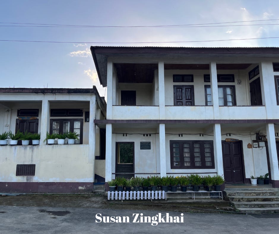


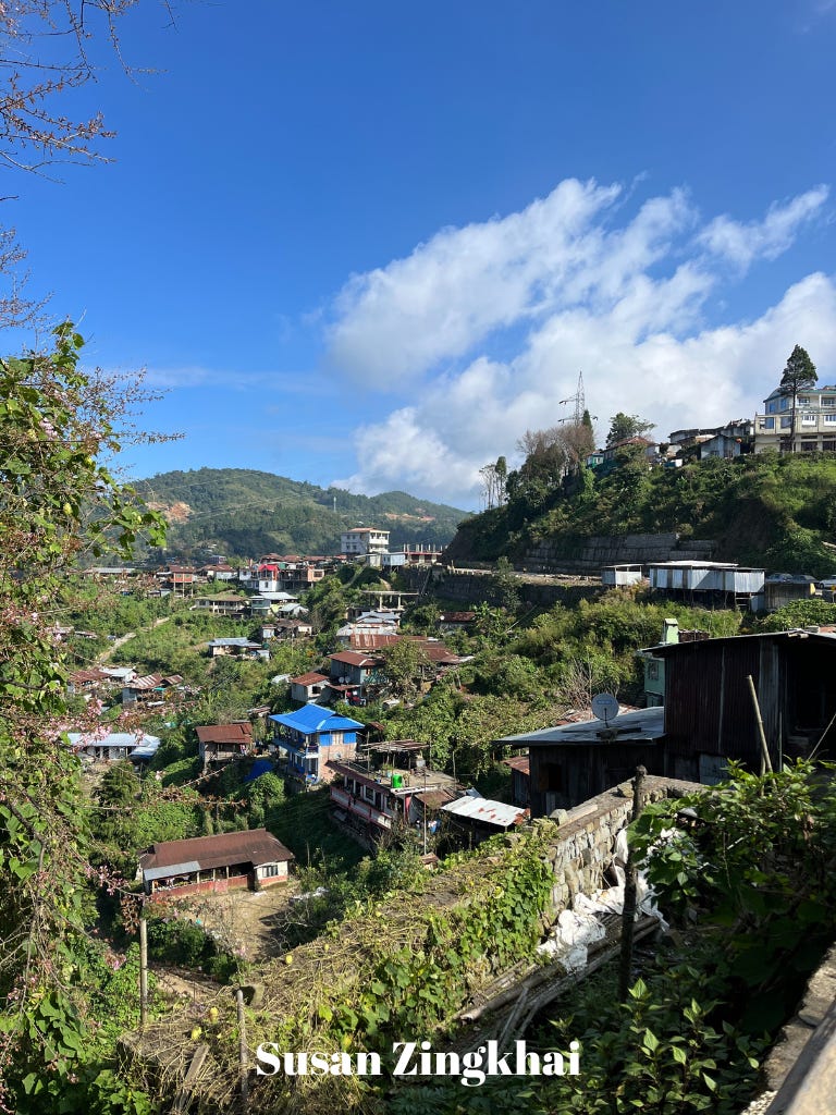
It was already dark when we arrived in Pfutsero around 5 PM. Pfutsero is known for being the highest (and therefore, coldest) town in Nagaland. We stopped here for the night. Here are a couple of shots of the view from our hotel (Envogue Lodging and Restaurant) the next morning.
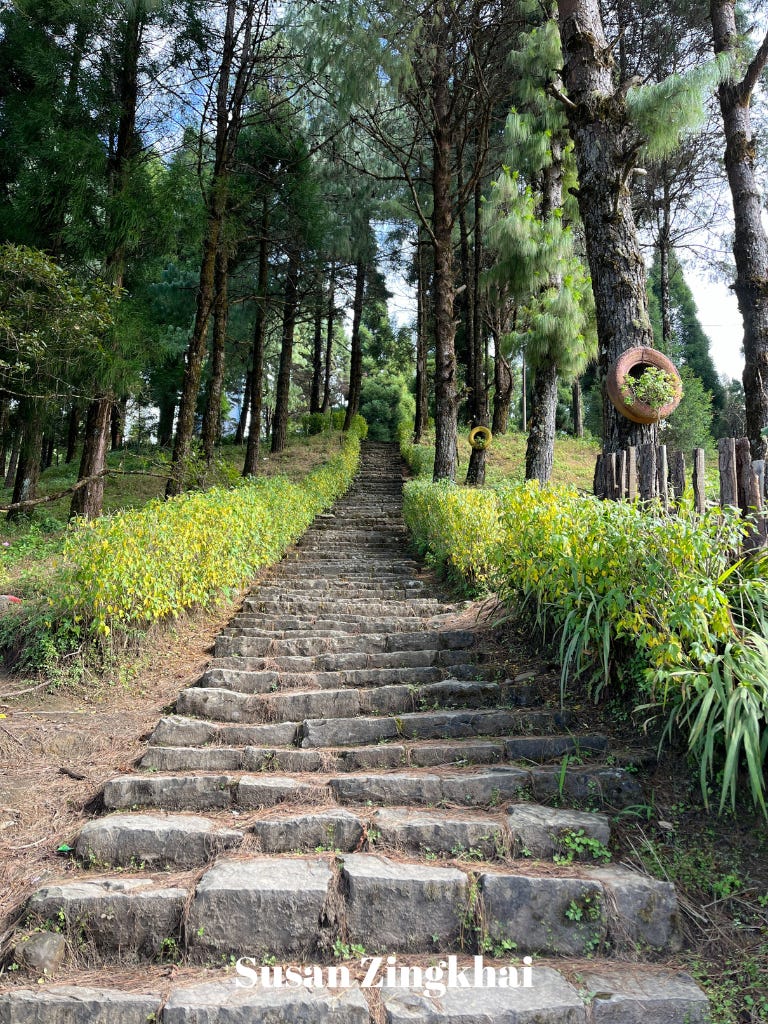
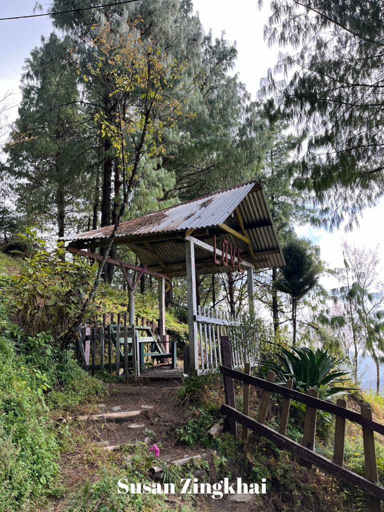
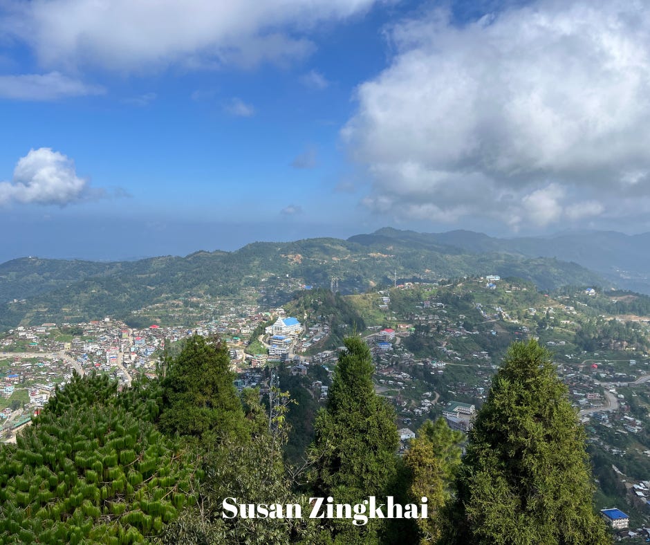
Pfutsero’s biggest “attraction” is Glory Peak, Pfutsero’s highest point, which is surprisingly close to the town. It is a beautiful, quiet place with a few different areas to sit. I especially liked the swing!


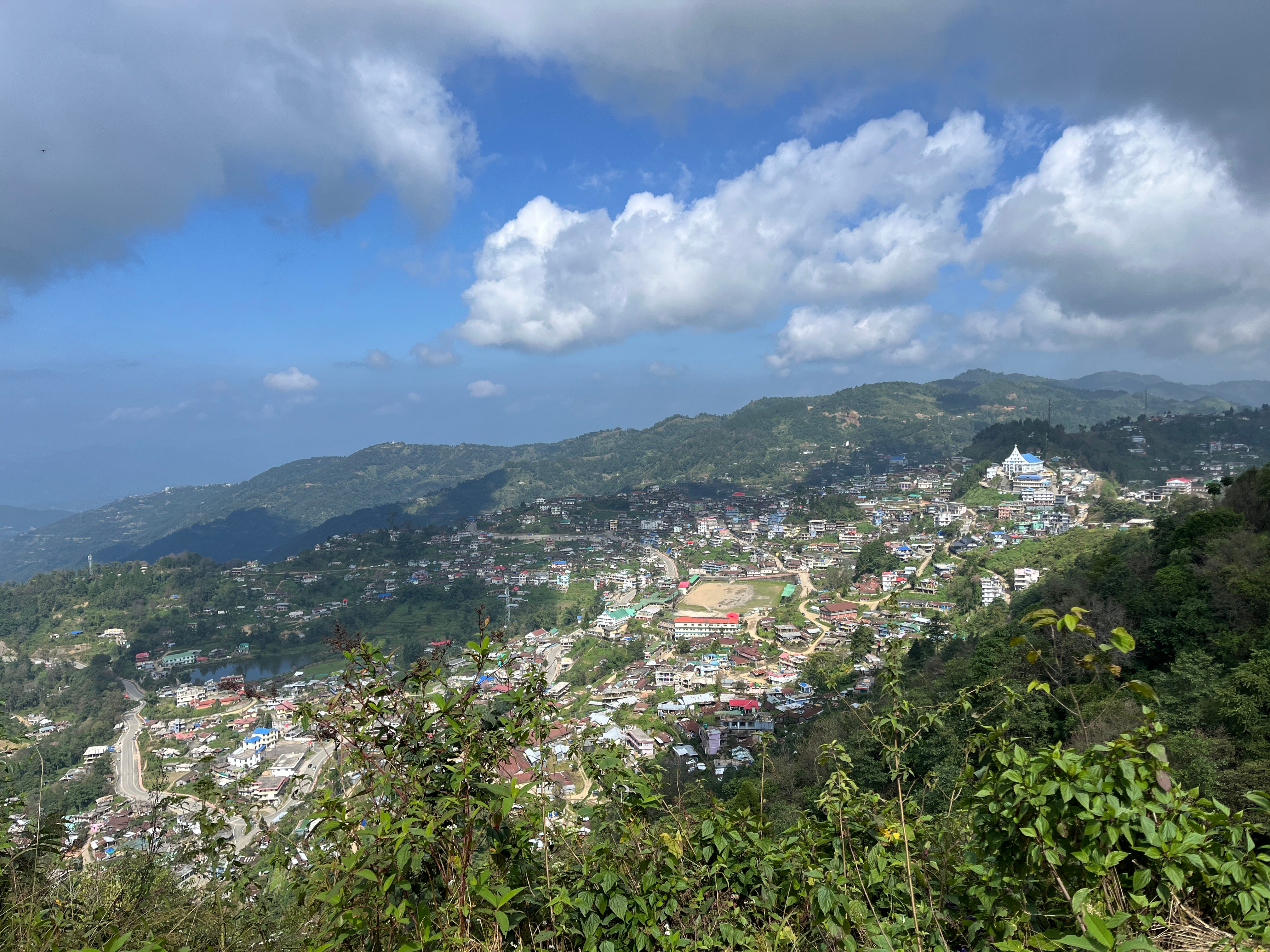
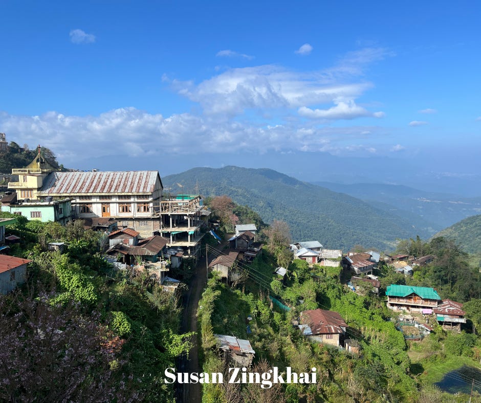
We climbed to the top of the tower (less than 100 steps) to see this view of Pfutsero from Glory Peak.
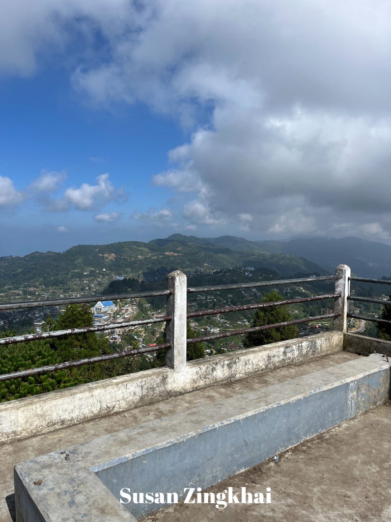
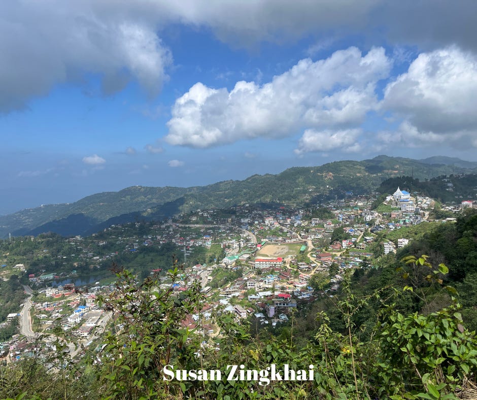
I thought the view halfway back down the road to the town was better than the view from the top of the peak as you can see more details.
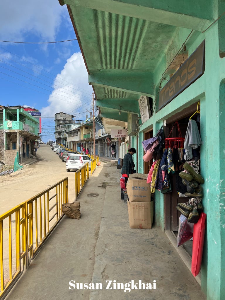
Before getting some lunch, I spent a few minutes walking through the town.


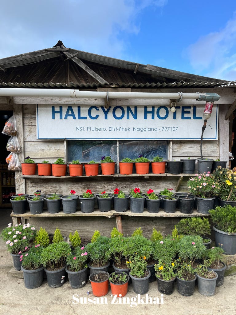
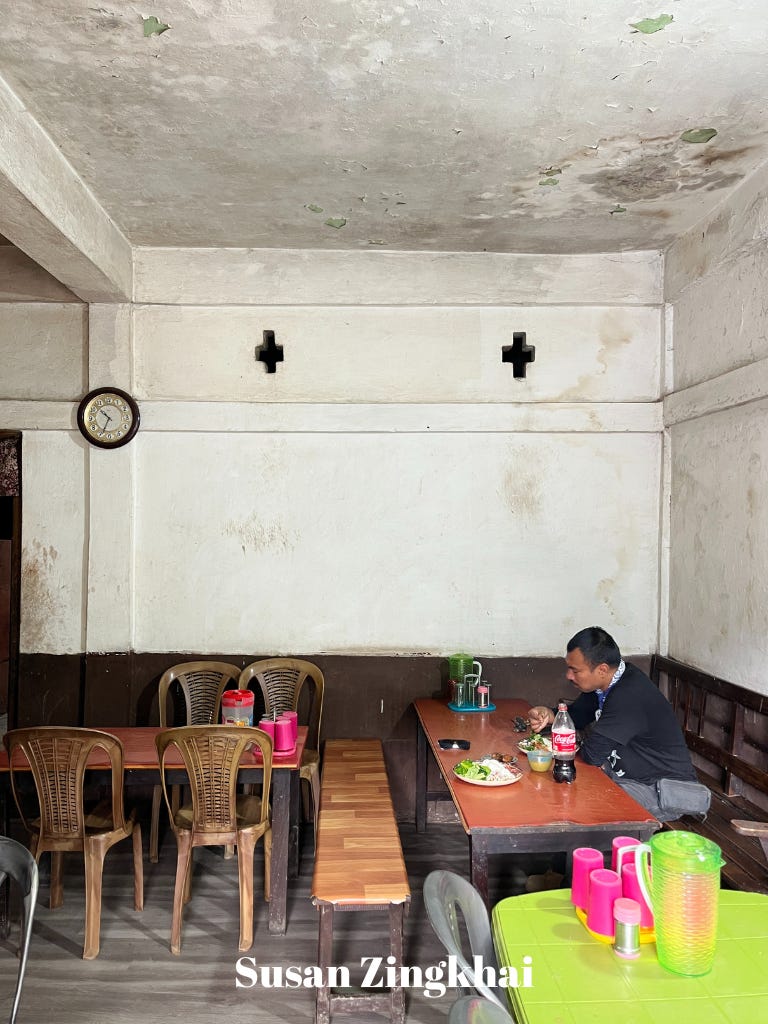
Per the hotel owner’s recommendation, we headed over to the NST (Nagaland State Transportation) station area to get some typical Naga food for lunch. This area has several “rice hotels,” meaning restaurants that serve only rice with a choice of chicken, pork, beef or fish as well as dal and vegetables. We ate at the Hills Hotel (though Halcyon Hotel had the most appealing exterior).
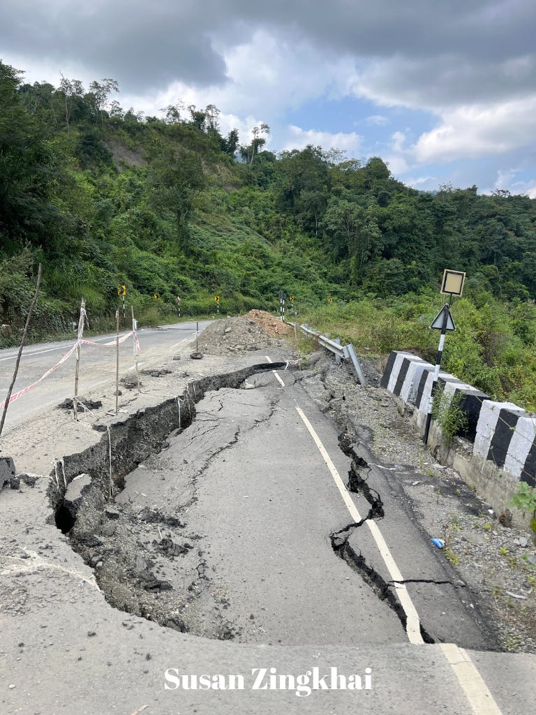
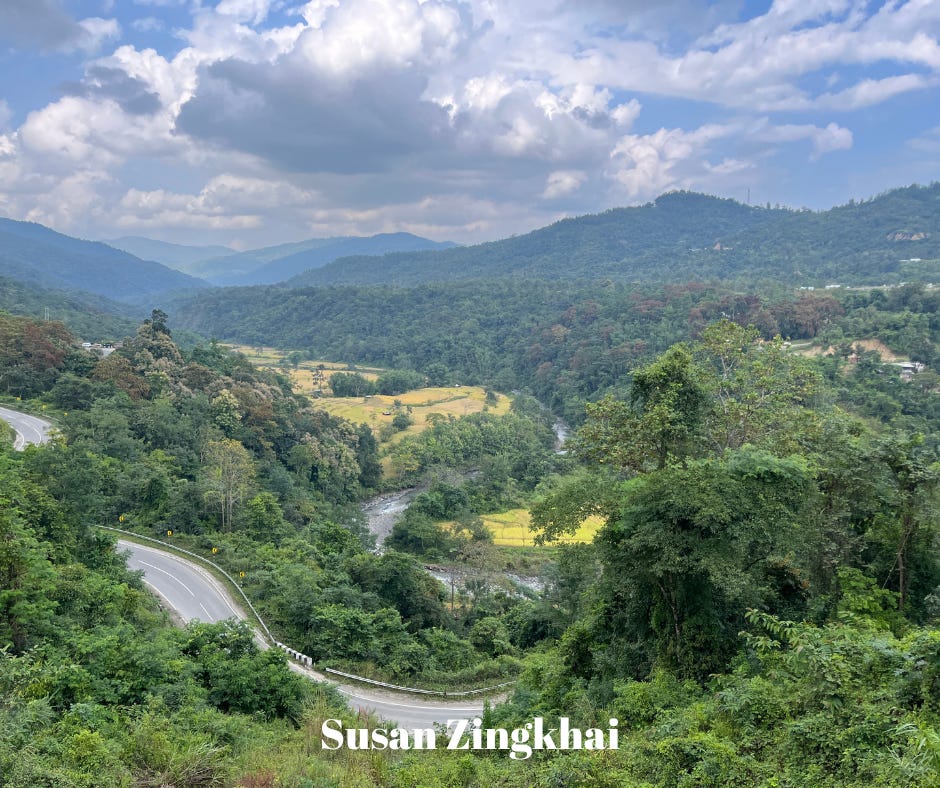
A couple more pictures to close us out. I believe these last two are from an area called Chakhabama, which is in between Pfutsero and Kohima. They are indicative of our trip: scary roads and beautiful views!
Here are the video links that correspond with this post:
The village to Pfutsero:
Pfutsero:
More about our trip coming soon!